The role of geospatial technology in climate change mitigation and adaptation
- Funmilola Oluwafemi (Nigeria), Project Advisor

- Sep 17, 2022
- 3 min read
The geospatial sector’s environmental impact directly or indirectly contributes to climate science positively or negatively. Also, it is reported that global-warming causes are felt by satellites and space debris or junks. Accounting for these contributions is timely; to mitigate and adapt to climate change, as outside the geospatial sector, geospatial activities in outer space are mostly perceived as a contribution to space pollution through space debris, light pollution, etc. Firstly, the geospatial sector’s systematic reduction to the minimum of the contribution of geospatial applications to climate change is crucial; secondly, the use of geospatial technology to mitigate and cause adaptation to climate change is important; and thirdly, the reduction of other activities contributing to climate change that affect the geospatial sector’s outer space activities negatively are encouraged.
The main regulatory framework as regards environment in the geospatial sector are treaties such as the Outer-Space Treaty, and regulations such as the space debris guidelines, Montreal Protocol, RoHS and REACH. The global presence and future policies that directly or indirectly affect the space industry including the climate policies that are in line with the Paris agreement such as the EU Green Deal are included in this treaty and regulations. Does the geospatial industry conform? For the RoHS directive and the REACH regulation, the geospatial sector strongly depends on some of the chemical exclusions, as some of the restricted substances such as lead continue to be vital components for geospatial hardware or equipment production. It is recommended that the space industry minimize or exclude the use of concerning chemicals.
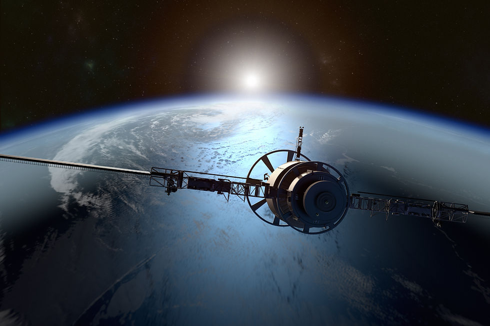
Geospatial technology is an important tech to mitigate and cause adaptation to climate change. Satellites facilitate raising of awareness of changes and evolution of climate change; help measure the different climate change or global warming indicators; over 50% of the essential climate variables can only be measured from space; over 99% of accurate weather forecasts are gotten through space technology; satellites help to monitor regional, territorial and national–scales information on climate change impacts; and satellites grants protective measures via the evaluation or interpretation of their data. Therefore, mitigation of climate change through data from geospatial aids in the reduction of emissions and pollution, and allows more proficient use of resources e.g. water. Geospatial technologies make climate adaptation and resilience possible through the identification of areas at risk of flooding, help understand shifting weather patterns, provide early warnings for natural disasters, and provide critical communications infrastructure and impact assessment for first responders.
Greenhouse gases contribute to the greenhouse effect by absorbing infrared radiation. Of all the greenhouse gases, carbon dioxide is the major greenhouse gas (more than 40%) as climate change is caused primarily by carbon emissions. When carbon dioxide levels rise at the space edge, this reduces the pull that the Earth’s atmosphere has on satellites and space junk or debris. So, reducing carbon dioxide levels through human activities is very helpful. The reduction of other activities contributing to climate change is key for satellites to remain in orbit and not crash back to Earth. Effective climate action requires both international cooperation, and national and local initiatives e.g. climate-smart agriculture is paramount. As rearing of animals (cows) contributes to global warming through the release of methane and deforestation; and making the soil more competent through soil organic carbon sequestration and microbial biomass sequestration still improving food security are ways of engaging climate action.

